Jerry Pilson
A website thoughtfully crafted with Sandvox
Site Navigation
[Skip]
Home
Figueroa Mt pictures
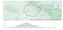
The route is the same 40 mile loop.
Started 6:30 AM, about 30 min, before sunrise-COLD
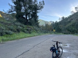
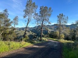
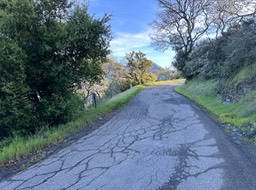
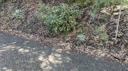
7 miles to start of climb, it rained the day before
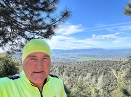
Sun is coming up
MOVIE: short. Never Again hill
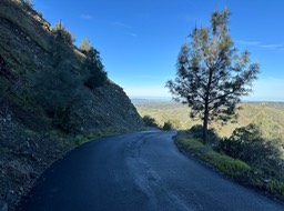
Sun getting brighter
Sun is higher, but not much warmer
Movie: short. A long way to go
Movie: short. Green
At least I had the mountain to myself. I only saw 4 or 5 cars the entire day
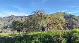
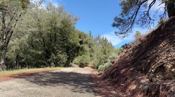
Lots of Green
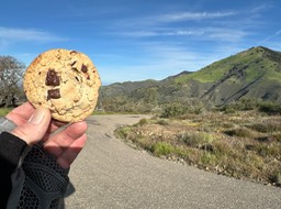
Today, I can eat all the chochlate cookies I want and not worry about getting fat.
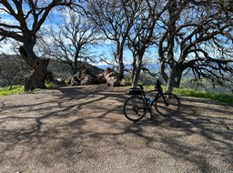
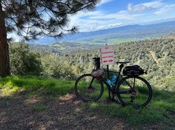
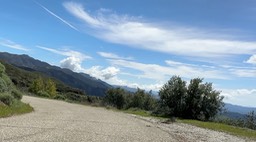
An overlook that is….
…. 1 mile from Ranger Station
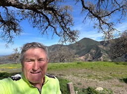
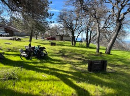
Rnager Station for lunch
1 hard mile later, the false top, it looks like the top, but after you go down a bit, it is all up again
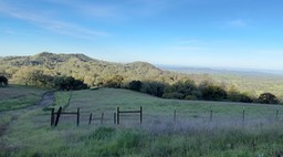
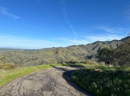
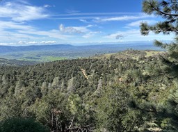
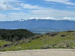
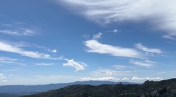
You can almost see the Pacific
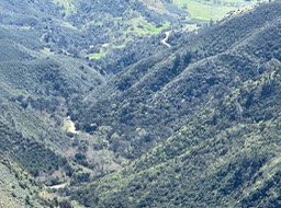
The Santa Ynez valley in the background
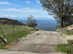
You can see Lake Cachuma
Its a tough climb to this cattle guard, and you can see why. The road does not end there; its just the drop off
Finally the hill I have been looking for..
Movie; short. Last pull to the top
movie: LONG. Over the top & 1 mile down
Movie: slightly long. After water not found
Movie: short The GREEN season
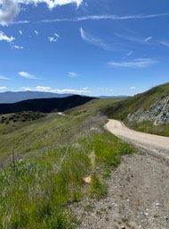
Looking down the valley I will follow
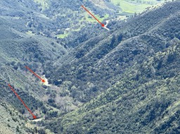
You can see the road as indicated by arrows
Movie: Long. Down to the Saddle
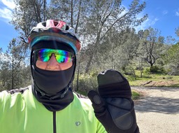
Going down was cold, so I went back to my morning cold weather gear.
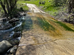
1st water crossing, covered in slime
Movie: short. Lots of water
Movie: Long. On to water # 2
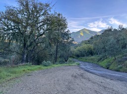
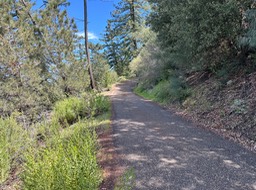
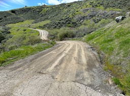
Start of dirt road section
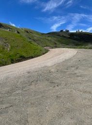
End of the dirt road section
There was about a 1 mile climb, but its all downhill now
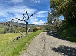
This tree says you are off the mountain with only 13 miles to go
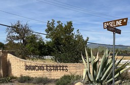
From Baseline it is 8 miles to Los Olivos; today with a stiff headwind
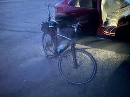
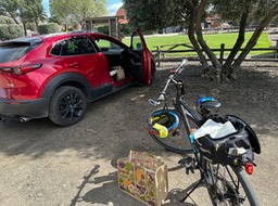
Finally back to the car and unpacking
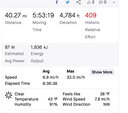
Just some data
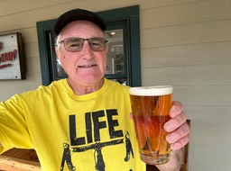
A beer at the Figueroa Mountain Brewery, with reading glasses to catch on todays news
Click here to return to Index
© Jerry Pilson 2019
[Back To Top]